 CREEK
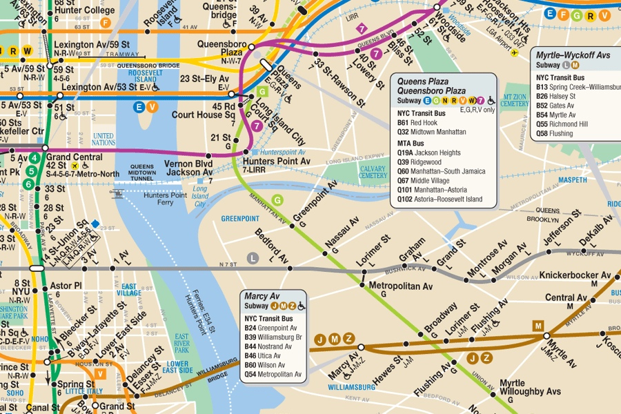
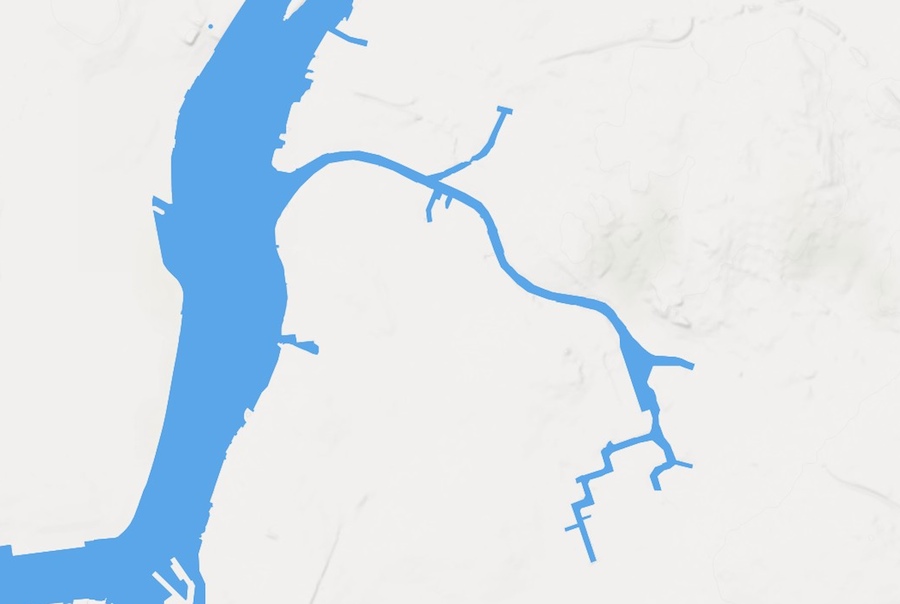
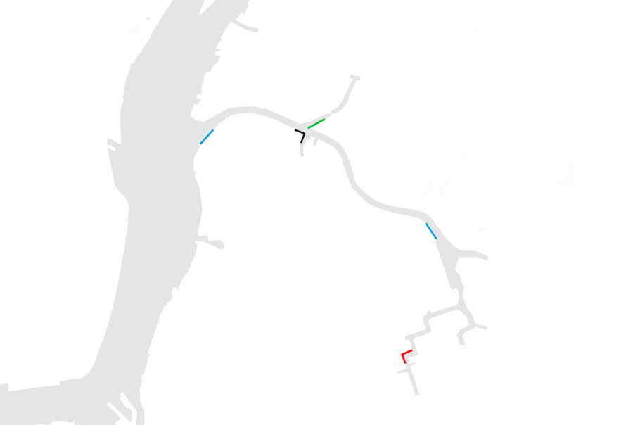
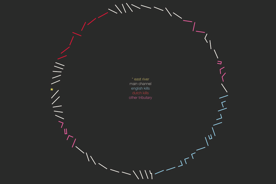
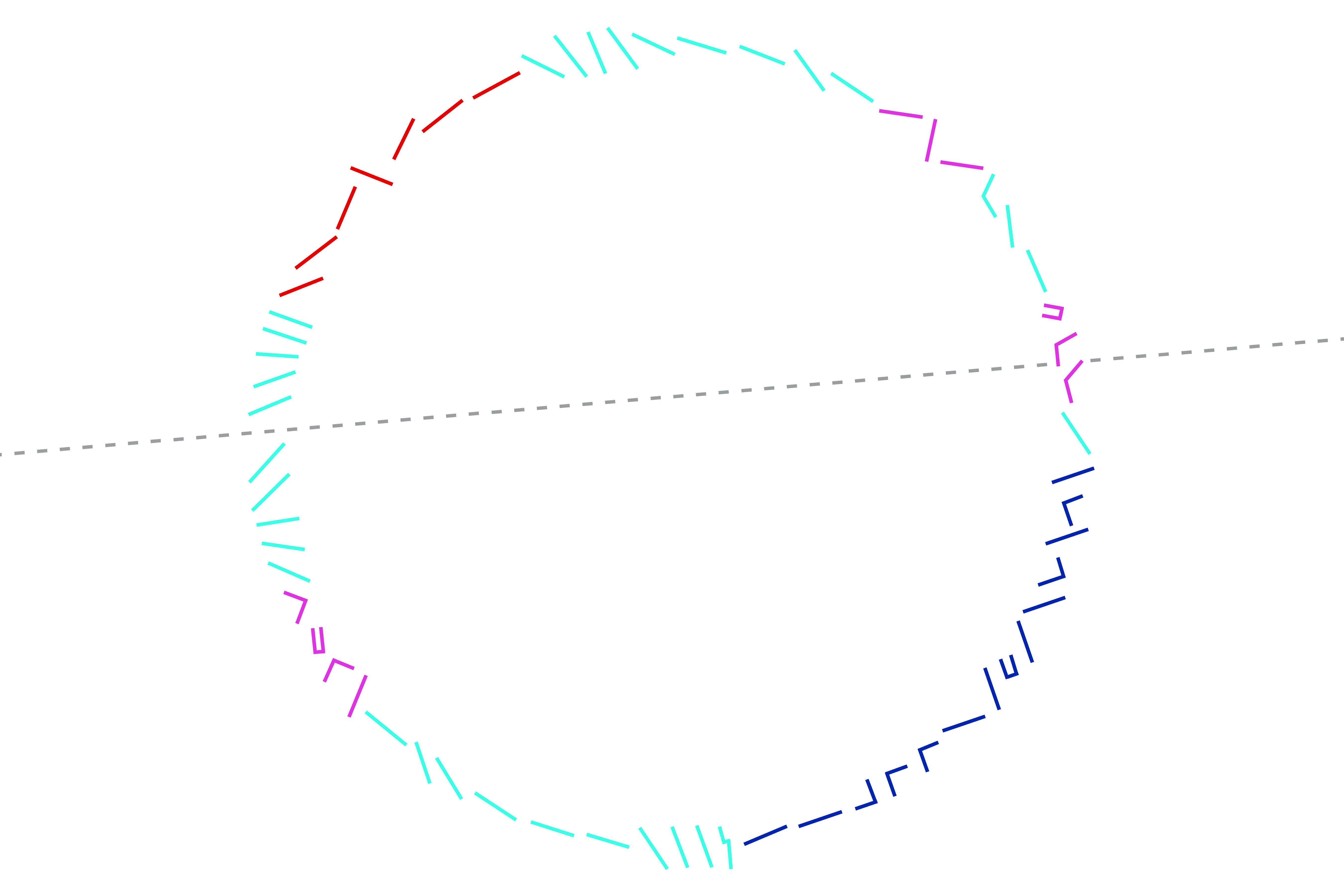
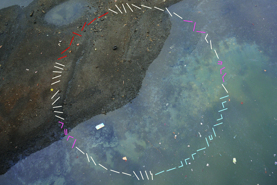
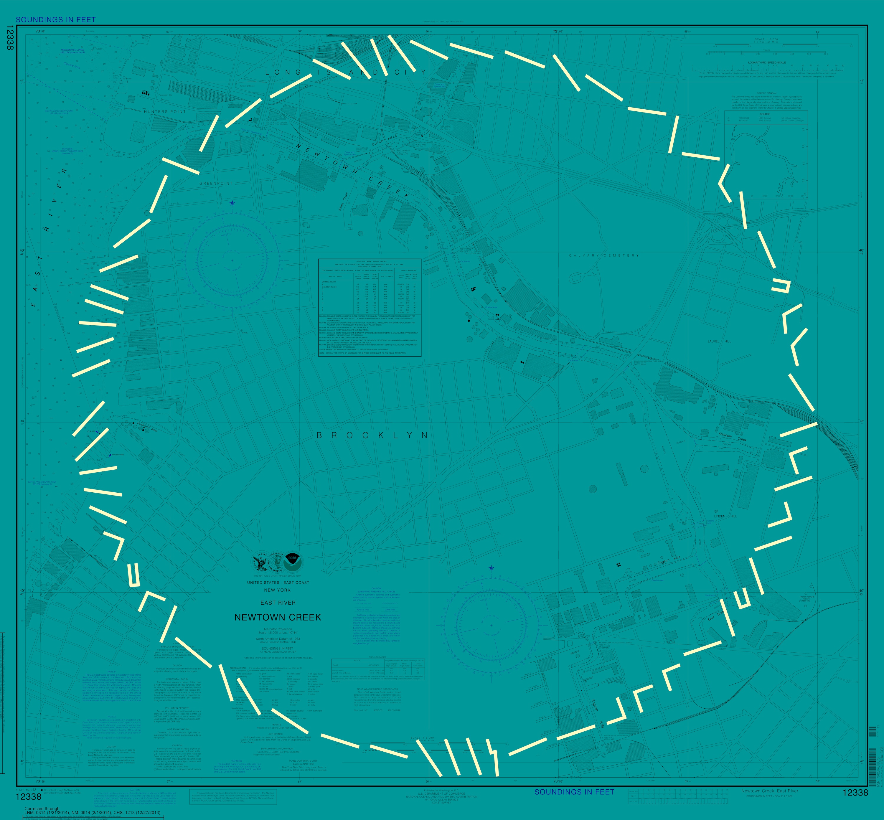
CREEKLINES I am very fond of Newtown Creek. But it is a narrow body of water, So it doesn't look significant on most maps. Yet the shoreline is some 11 miles long, almost the length of Manhattan. Also, the shore is varied in orientation, it faces nearly every direction at some point. The most familiar map of NYC (the subway), falsely implies a strict West to East route. To better display these two properties, a new map was sought. One that would not show space, but boundaries. To emphasize the shoreline, it was broken into 64 segments, preserving directional orientation (^ = North). Then arranged in a more voluminous manner, a circle that is open and more inviting. Willis Elkins, 2014. |
|
|
|
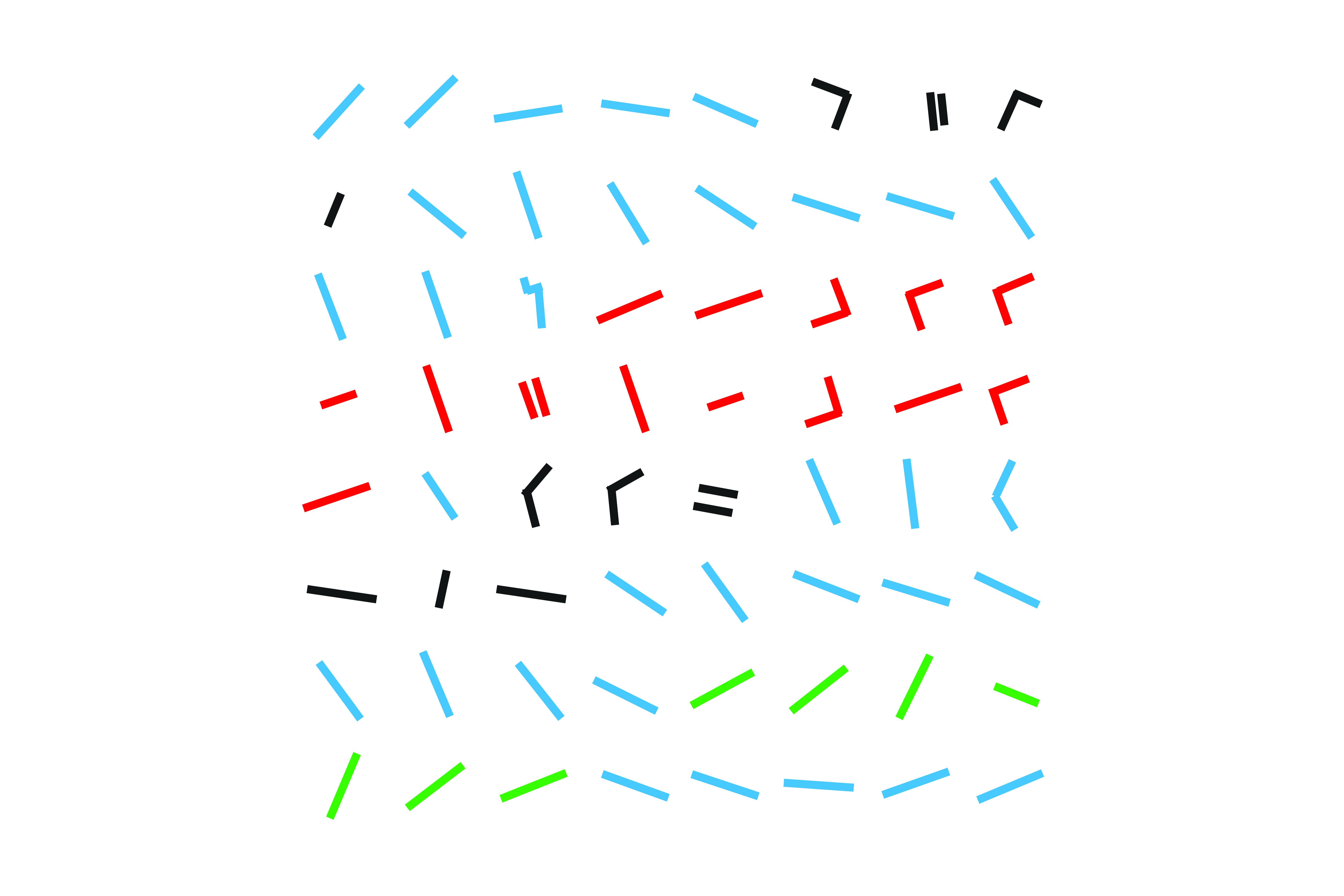
(Beginning with Brooklyn shore at the East River.) |
|
|
|
|